Interactives for Falmouth Maritime Museum
partners
Scena, Land Design Studio, Harris Blythe
the brief
To design and build a suite of interactive installations to provide NMMC visitors with hands on experience of maritime navigation methods and meteorlogical phenomena.
the project
Rom and son collaborated with Land Design Studio to create 4 different interactive installations for the museum’s meteorology and navigation gallery.
Lows and Fronts
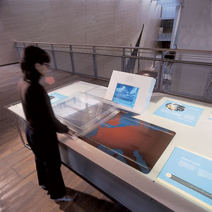
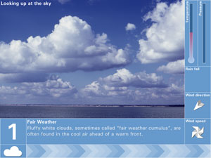
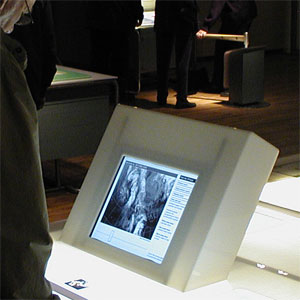
How do huge weather formations passing overhead affect the weather we experience on the ground? The lows and fronts installation allows visitors to take control of a weather system in order to answer this question. A tabletop model of a typical weather system is mounted over a map of the UK so that users can drag the weather across the country. The position of the NMMC in Falmouth is marked with an LED and an onscreen display shows the weather conditions, such as temperature, rainfall, wind speed and cloud type which are experienced at NMMC as the weather system passes.
Navigation by Mark
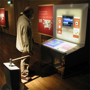
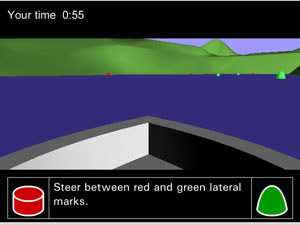
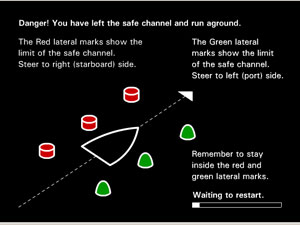
Museum visitors use an actual boat tiller to steer a virtual boat on a treacherous circumnavigation of an island. 3D graphics are used to show the view from the boat and the marker buoys, or marks, which signpost the safe passage between hidden sandbanks and submerged rocks. New marks, and their meanings are introduced en route and players must interpret them correctly as well as steer the boat in order to sucessfully complete the course.
Eyes in the Sky
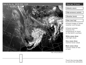
This installation displays an interactive animated satellite image showing current weather over the UK. Visitors can control the animation via a slider which allows them to rewind, fast forward and freeze-frame the weather of the last 72 hours. The installation also provides supplementary info to help visitors interpret the satellite image. The images themselves are downloaded on the fly from the Met Office via an internet connection.
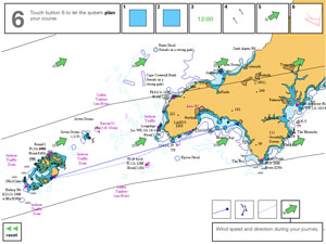
Vector Chart
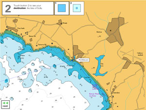
Modern sailors use computer based chart software to calculate and plot the courses they navigate. The vector chart installation offers museum visitors the chance to use a simplified simulation of such software to plan a sailing trip to the Isles of Scilly. Utilising functionality such as tide tables and downloaded weather info visitors are challenged to calculate the optimal departure time and route for their journey.
